First Denman Glacier campaign findings challenge assumptions about glacier's hidden depths
A team of Australian and international researchers have published the first peer-reviewed research paper from the landmark Denman Terrestrial Campaign, offering an unprecedented glimpse beneath one of Antarctica's most important and least understood glaciers.
The study, led by Australian Centre for Excellence in Antarctic Science (ACEAS) researcher Dr Maria Constanza Manassero from the University of Tasmania, reveals that part of Denman Glacier's hidden trough may be significantly shallower than previously thought, while also uncovering evidence of water-rich sediments beneath the ice that could influence how the glacier flows towards the ocean.
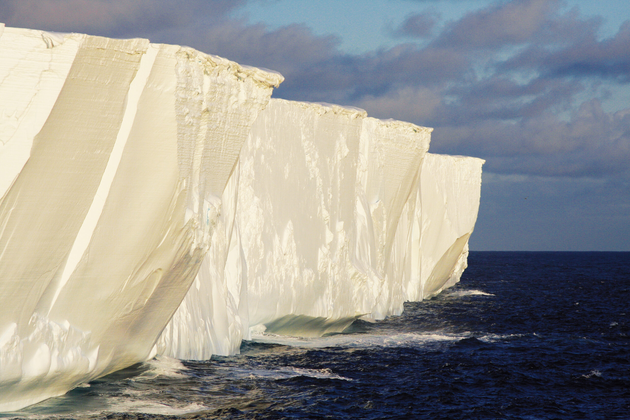
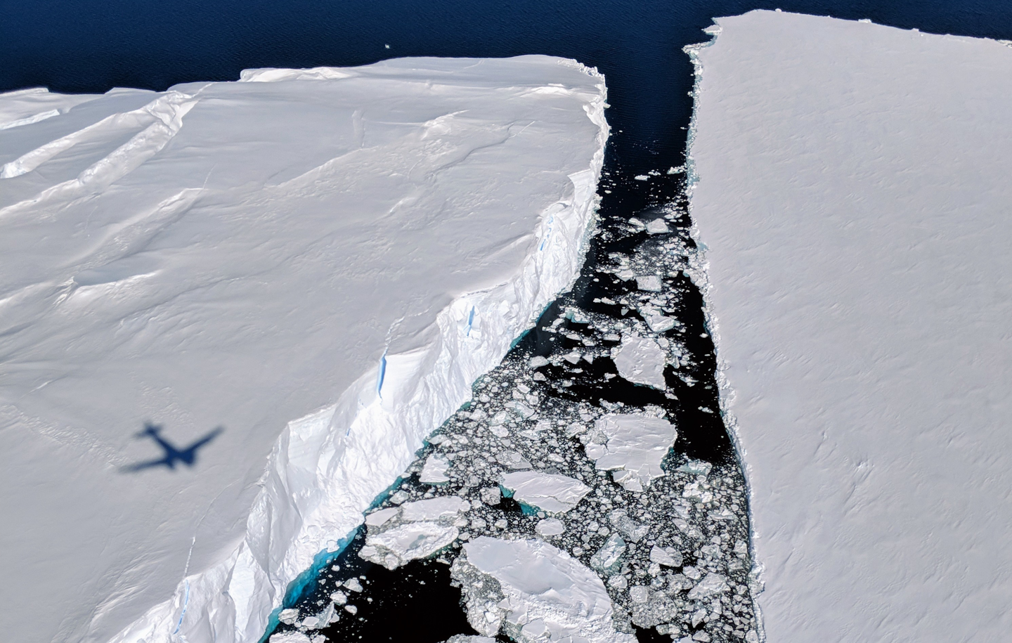
Located in Australian Antarctic Territory, the Denman Glacier has attracted growing international attention because it is one of East Antarctica's fastest-retreating glaciers and holds enough ice to raise global sea levels by more than 1.5 metres, if fully melted.
"One of the main objectives of the Denman Terrestrial Campaign was to understand the depth and contour of the hidden trough beneath the glacier," Dr Manassero said.
"Different models suggested the glacier bed could be between 2.6 and 3.5 kilometres below sea level, but there is a lot of uncertainty with those estimates. That uncertainty affects our predictions of future sea-level rise because it determines how much ice is actually there."
“Our study shows that the central trough may be considerably shallower than previously thought, which is important for our understanding of the glacier’s dynamics and potential contribution to sea level rise.”
Looking beneath kilometres of ice
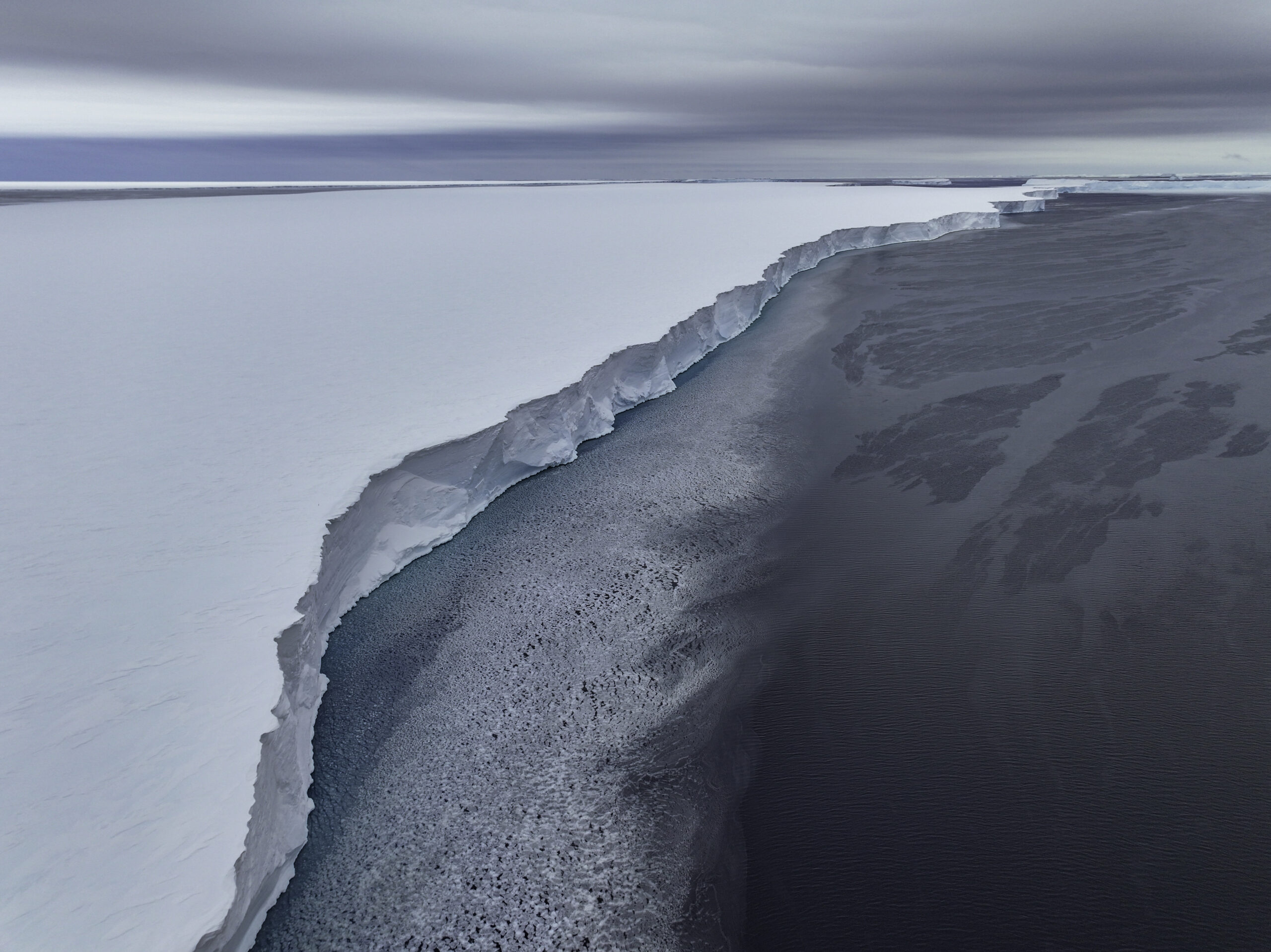
For years, scientists have relied largely on airborne radar surveys and computer models to map the landscape hidden beneath Denman Glacier. But the glacier's steep walls, deep trough and heavily crevassed surface make it difficult for radar signals to accurately image the bedrock below.
To tackle this challenge, researchers from ACEAS, the Australian Antarctic Program Partnership (AAPP), Securing Antarctica's Environmental Future (SAEF) and the Australian Antarctic Program (AAP) joined forces during the Denman Terrestrial Campaign with the mission of uncovering the risk of ice loss from such a key subglacial basin over the next decade or centuries, understanding the drivers of change, and the potential consequences.
As part of that body of work, a team deployed ground-based geophysical instruments directly on the glacier. The researchers combined magnetotelluric, seismic and gravity measurements to build a clearer picture of what lies beneath the ice.
The newly published study focuses on magnetotellurics, a technique that uses naturally occurring variations in Earth's electric and magnetic fields to distinguish between ice, rock, sediments and water below the surface. The work was enabled by specialist equipment from the AuScope-supported Geophysical Research Infrastructure for Antarctica (GRIT) instrument pool.
Because ice is highly resistant to electricity while water-rich sediments are much more conductive, the method allows researchers to identify important structures hidden beneath kilometres of Antarctic ice.
A shallower trough than expected
The team's measurements revealed a surprising result.
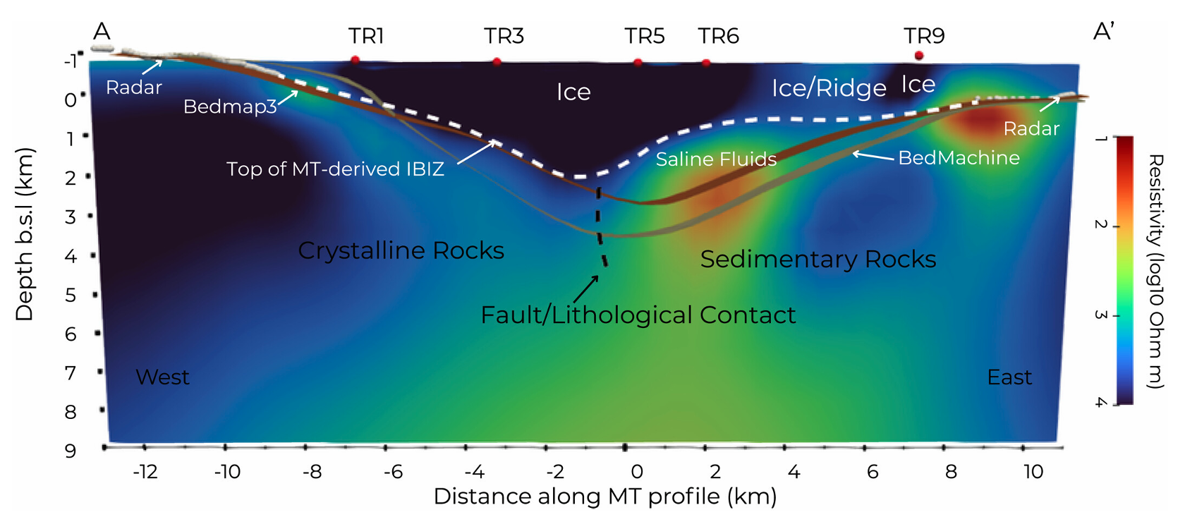
Whilst the depth of the trough sides was broadly consistent with previous models and estimates, the glacier bed in the central part of the trough appears to be around 1,600 metres below sea level – roughly one kilometre shallower than previous estimates from widely used Antarctic models.
"What we found is that, in the middle of the trough, the transition between ice and bed is about one kilometre shallower than previous models estimated," Dr Manassero said.
"After all the testing we did, we found this result was very robust."
The findings suggest that existing continent-scale maps may not fully capture the complexity of the landscape beneath Denman Glacier, highlighting the importance of collecting direct measurements on the ground.
This shallower bed may be consistent with a broader subglacial topographic high, or underwater ridge, buried beneath the glacier. Similar features are now being hinted at in other studies of the region, providing growing confidence that scientists may be piecing together a new picture of Denman's hidden landscape.
Evidence of a ‘slippery’ glacier bed
The study uncovered another important clue: evidence of water-rich sediments beneath the glacier.
The researchers detected conductive zones that are most likely caused by water at the ice-bed interface or trapped within sediments and sedimentary rocks below the ice. These conditions can create what glaciologists often describe as a ‘slippery bed’, allowing the glacier to slide more easily across the underlying landscape.
"The key implication is that this water at the ice-bed interface makes the bed more slippery making the glacier move faster," Dr Manassero said.
At the same time, the newly identified topographic high could potentially help slow the glacier's retreat by acting as a natural pinning point. Understanding how these competing influences interact will require further research.
Science at the edge of possibility
Collecting the data was far from straightforward.
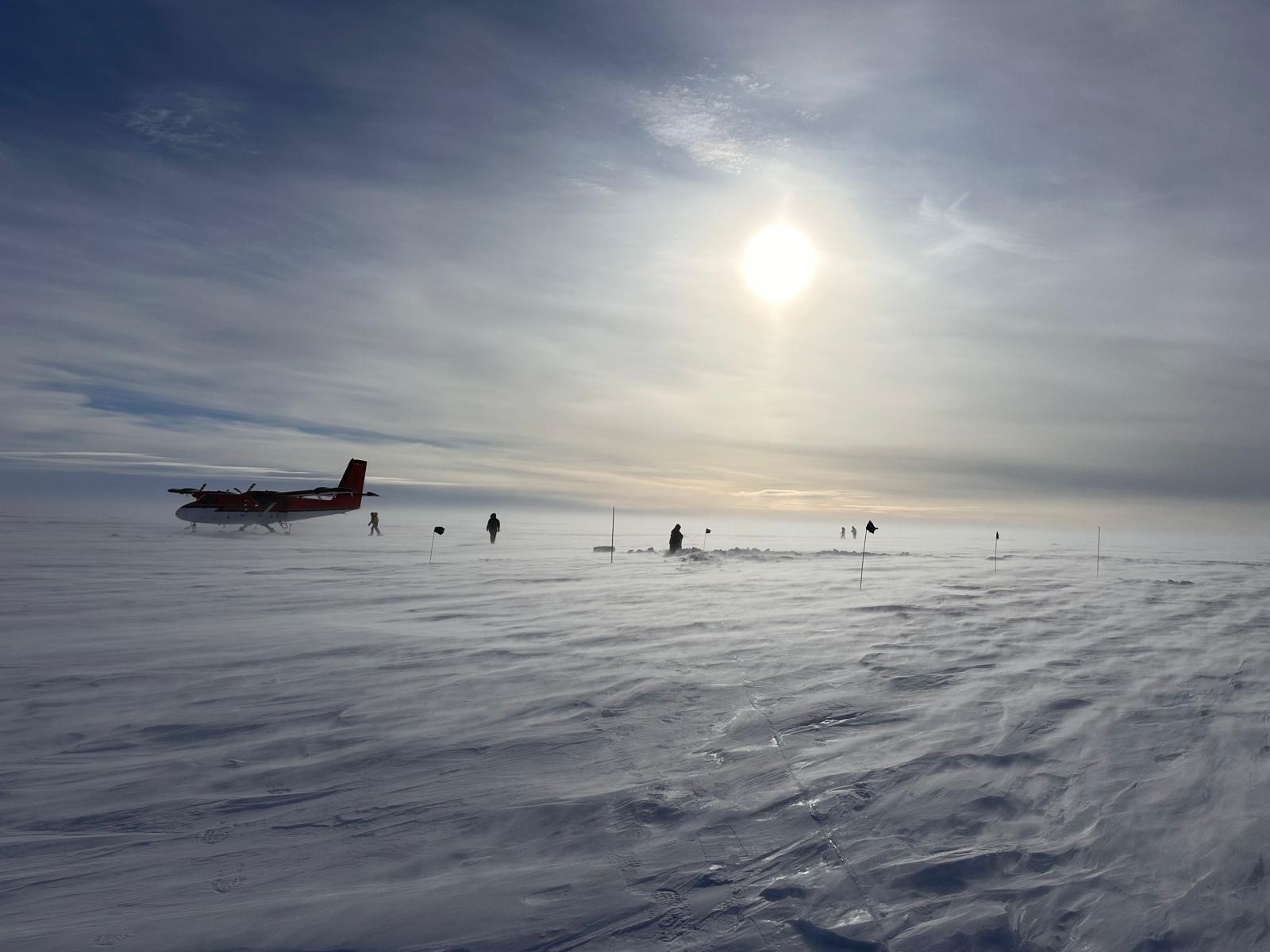
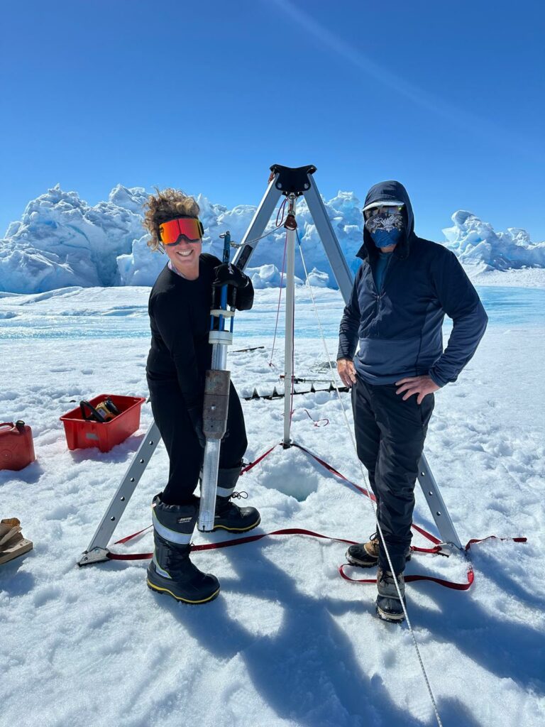
Working from a remote Antarctic field camp at Bunger Hills, researchers battled fierce winds, extreme cold and heavily crevassed terrain. During a deployment lasting more than six weeks, conditions were suitable for fieldwork on Denman Glacier for only four days.
"We were only able to go out four days out of the month and a half that we were there," Dr Manassero said.
"We actually achieved a lot considering each station takes between three and four hours to deploy."
The team often worked in temperatures below minus 15°C, with wind chill pushing conditions closer to minus 30°C.
"Luckily, we had a really fantastic team, including Field Training Officers and pilots, and we were all working around the clock to make it happen."
Building a new picture of Denman Glacier
Beyond the scientific findings, the publication marks a major milestone for the Denman Terrestrial Campaign and the many researchers involved.
The paper brings together expertise from geophysics, glaciology, geology, and other fields, to create what Dr Manassero describes as a more complete understanding of the glacier. Other team members are working in the seismic and gravity imaging of Denman.
"It was really crucial for me to include people from very different backgrounds to construct this multidisciplinary paper," she said.
"We're building a new picture from a lot of very different angles."
The findings also provide valuable information that can be used to improve large-scale Antarctic models and refine future projections of sea-level rise.
For Dr Manassero, however, the work is far from finished.
"I think the broader question of how deep Denman is still holds," she said.
"We were only able to access certain parts of the trough, so we need more stations across and along the trough itself, with the aim of improving the bed-topography models and working together with glaciologists and modellers. This is such an important glacier for understanding Antarctica and, by extension, our future."
Dig deeper into the research
READ THE PAPER: Bed Topography and Subglacial Conditions of Denman Glacier, East Antarctica: Insights From Magnetotelluric Data and Interdisciplinary Studies
CITATION: Manassero, M. C., Selway, K., Stål, T., Scheiter, M., Loesing, M., McCormack, F., Halpin, J. A., Kulessa, B., & Reading, A. M. (2026). Bed topography and subglacial conditions of Denman Glacier, East Antarctica: Insights from magnetotelluric data and interdisciplinary studies. Journal of Geophysical Research: Earth Surface, 131, e2026JF009277. https://doi.org/10.1029/2026JF009277
DATA AVAILABILITY: the magnetotelluric data and resistivity models produced through this study have been made publicly available, providing a valuable resource for future Antarctic research and modelling efforts.
Magnetotelluric data and resistivity models: https://doi.org/10.5281/zenodo.15646543
Magnetotelluric time-series data: https://doi.org/10.25914/cqzm-gv65
The Denman Terrestrial Campaign was supported by the following organisations: Australian Antarctic Program, Australian Centre for Excellence in Antarctic Science, Australian Antarctic Program Partnership and Securing Antarctica's Environmental Future.
More Denman discoveries on the horizon
This publication marks the first peer-reviewed paper from the Denman Terrestrial Campaign, with additional studies from the campaign already under review and more expected to follow. The Denman Glacier is an area of particular focus for ACEAS over the 2026 to 2028 period and research outputs and datasets contribute to delivering the Australian Antarctic Science Decadal Strategy.
Upcoming research includes a gravity-based investigation of the Denman Glacier region led by ACEAS researcher Mareen Loesing, as well as a second study led by Dr Maria Constanza Manassero examining mantle viscosity and glacial isostatic adjustment in the Denman region.
Together, these studies will help build an increasingly detailed understanding of the Denman Glacier system and improve our ability to predict its future behaviour.
Stay connected
For more Antarctic news and stories, subscribe to our mailing list here.