Unravelling the moving mysteries of Antarctica
Scientists are exploring a new method to uncover details of the changes occurring in the mysterious landscapes of East Antarctica—changes that will affect the lives of hundreds of millions of people across the planet.
Researchers from the newly-formed ARC Australian Centre for Excellence in Antarctic Science (ACEAS), based at the University of Tasmania, are using global positioning system technologies to measure land movement across the icy continent.
“Antarctica is a crucial yet fragile part of Earth’s climate system. The region is also challenging to observe, monitor and understand as it is remote and difficult to reach,” says ACEAS Director Professor Matt King.
“Every day a little bit of Antarctica turns up on the coastlines of the world through sea level rise and coastal erosion. But the big question remains: how is Antarctica changing and by how much?”
Increasing sea-levels across the globe is just one direct impact of the changes happening in Antarctica. Investigations out of ACEAS will focus on understanding, as best as possible, the Antarctic impacts on sea-level rise—in particular, which areas, communities and economies are affected and by how much.
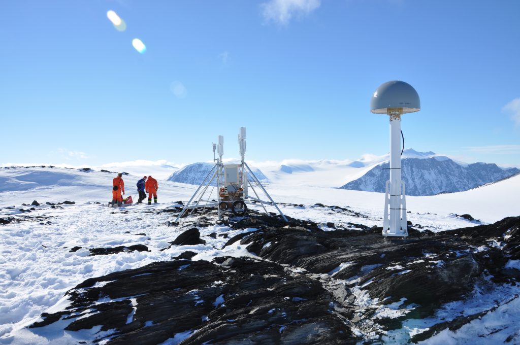
In a new study, the research team places global positioning system (GPS) sensors on previously unobserved rocky outcrops in Antarctica to measure their movement. This helps separate the effects of the land going up or down from the lowering of land ice.
“Our study overturns an assumption that the bedrock below the icesheet in Antarctica has been rebounding since the last ice age,” Prof King said.
“It is instead going down. We think this is because the ice in this area grew over the last few thousand years and then stabilised.”
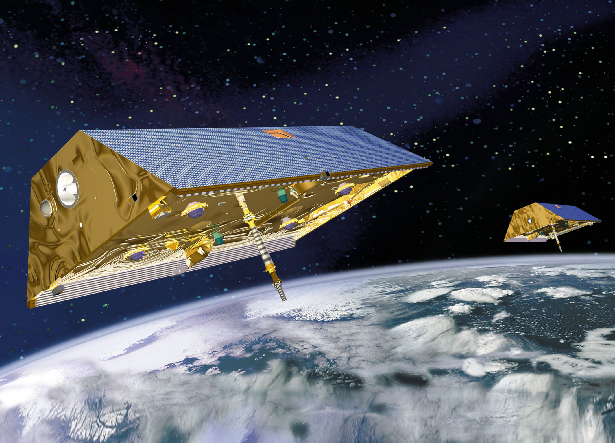
Despite a vast array of satellite technology already measuring the most recent changes in Antarctica, Prof King says these data alone can’t distinguish which parts of the measurements are due to either ice change or the land motion beneath.
“By getting into the field and measuring the land movements—with really precise GPS—we can get better measurements of Antarctica’s contributions to sea level change,” he said.
But, he adds, one of the challenges is finding rock outcrops in the ice to put the GPS antennas on to measure the land.
“Rock in Antarctica is like hens’ teeth. And where they are is remote and cold.”
Prof King says ACEAS scientists are working on placing more GPS and exploring smarter ways to power them through dark Antarctic winters.
“We also need to find ways to figure out how the Earth is moving underneath the vast ice sheet there—where there are no rock outcrops,” he said.
“That’s a real challenge and there are no simple solutions yet.”
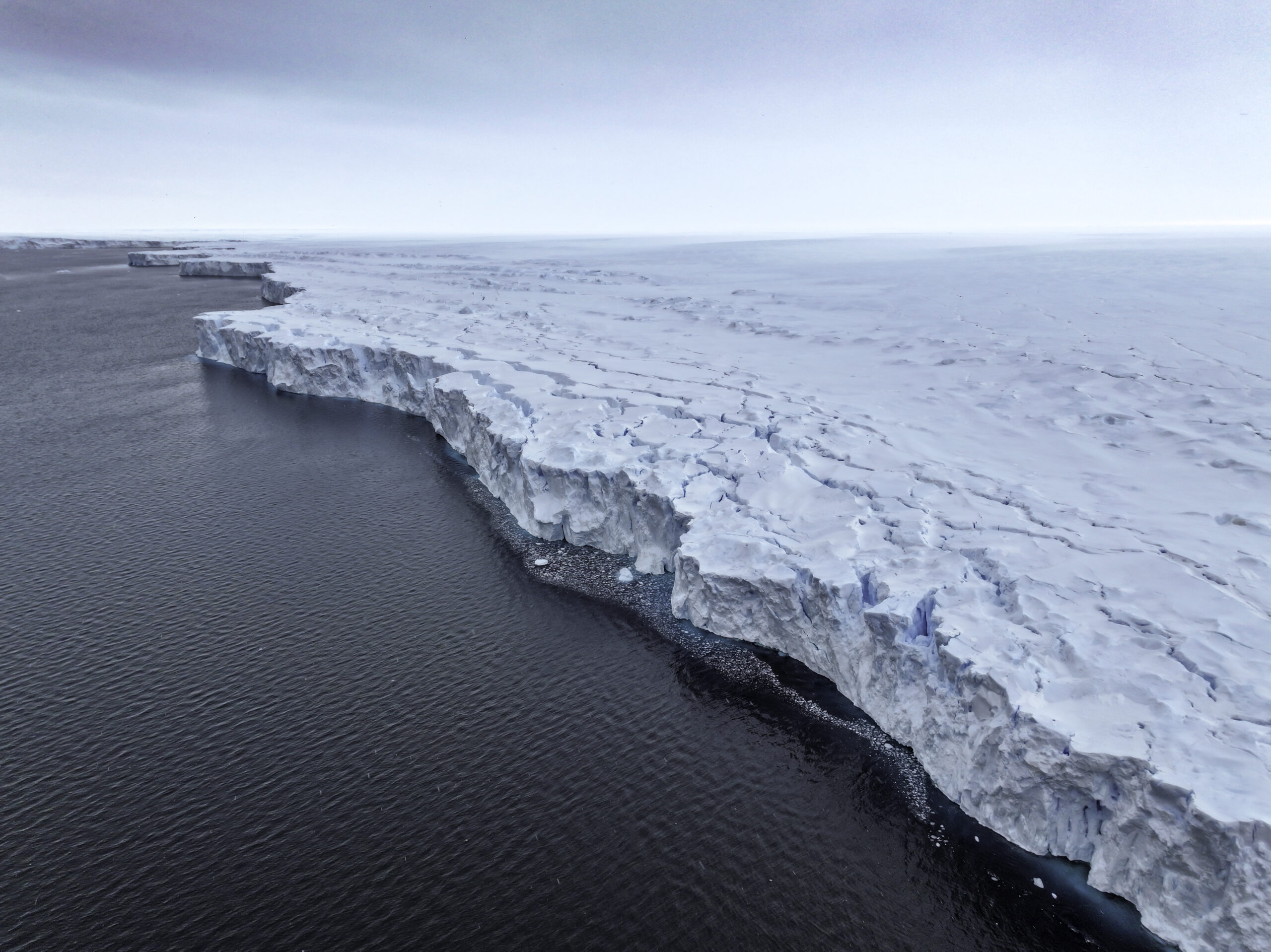
The study focuses on East Antarctica, a part of the world that is about the size of Australia. It includes the changing Totten and Denman glacier basins, which contain enough ice to raise sea levels by more than seven metres.
But scientists are unsure if that change is long term or widespread—whether it is growing, shrinking or simply doing nothing much.
“It’s a complex puzzle but we’re working out how to solve it,” Prof King said.
PAPER
King M, Watson C, White D. (2022). ‘GPS rates of vertical bedrock motion suggest late Holocene ice-sheet readvance in a critical sector of East Antarctica’. Geophysical Research Letters. DOI: 10.1029/2021GL097232