Geomorphology beneath the deep blue sea
By Rachel Nanson and Michal Wenderlich, Geoscience Australia
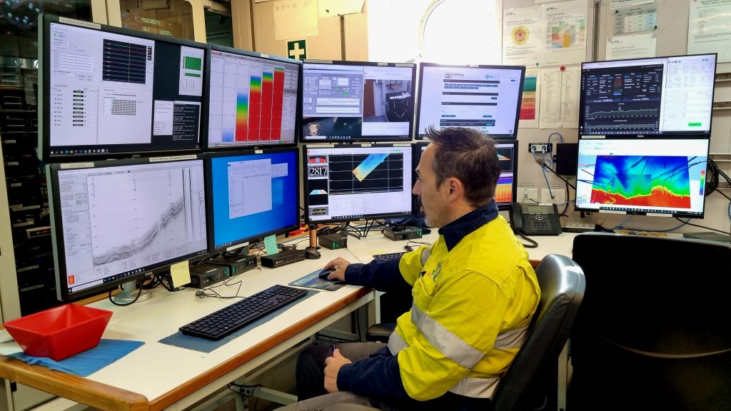
Fig 1. One of RV Investigator’s geophysicists, Francisco Navidad, continually monitors and records incoming data.
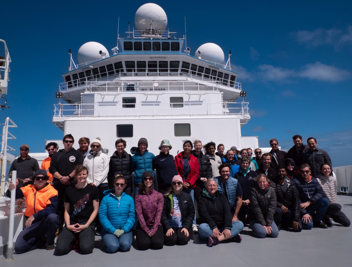
On the 7000 km transit south to Antarctica and then in the study area of Cape Darnley, the CSIRO research vessel (RV) Investigator’s technical staff and science team have been working around the clock to collect continuous seafloor data (Figure 1). A state-of-the-art multibeam sonar system uses sound to map the seafloor depth to reveal its shape. Simultaneously, a sub-bottom profiler system uses sound to penetrate through the seafloor sediments, which reflects off layers of different densities. These provide vertical profiles that slice through the seafloor revealing layers of sediments, like multiple layers of cream and sponge within a sliced cake (Figure 2). Scientists aboard the RV Investigator combine these two datasets to interpret the processes that formed the seafloor topography and work out what it’s made of.
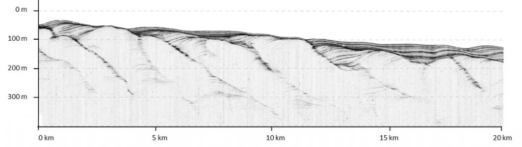
Fig 2. The sub-bottom profiles capture images of hundreds of meters of sediment. This data is used to support core-site determination by confirming the presence of undisturbed sediments (Image supplied by the RV Investigator’s geophysical team: Francisco Navidad and Amy Nau).
Just after leaving Fremantle, Western Australia, we transited across the relatively shallow (< 200 m) continental shelf near Rottnest Island and past the shallow headwall of one of Australia’s largest marine canyons—the ancient Perth Canyon. We passed over long, low ridges of drowned coasts that formed during the lower sea levels of the last glacial period. Further south, nearly 150 km SW of Cape Leeuwin, the shelf rapidly gave way to the steep continental slope that plunged to depths of over 6 km. Here the ocean swell and wind picked up, and the voyage felt well and truly underway.
Over 50 million years ago the great frozen continent of Antarctica was still attached to Australia. Evidence for the subsequent rifting of these two continents has been preserved beneath the Southern Ocean, in the bathymetrically spectacular ridges and seamounts of the Diamantina Fracture Zone and the more subdued South East Indian Ridge. It took us six days (and one tempestous storm) to transit over these two features. Just prior to reaching the Cape Darnley region we also transited over the volcanic Kerguelen Plateau, where Australia’s Heard Island sits on the top of the plateau, a small island that hosts one of Australia’s only active volcanos in the middle of the Southern Ocean. The high resolution bathymetry and sub-bottom profiles collected have revealed new detail of these ridges and plateau, as well as new seamounts and other undersea features.
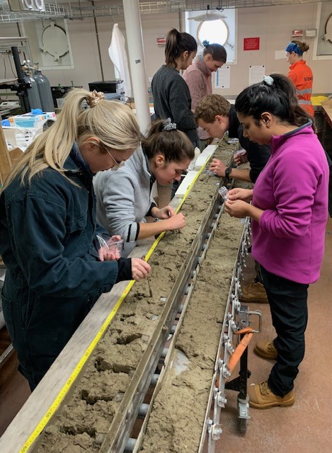
After a 13 day transit we arrived to our survey area last week, offshore from Cape Darnley, and immediately set to work taking offset swaths of detailed multibeam, backwards and forwards (termed ‘mowing the lawn’), and sub-bottom profiles of the Wild and Daly Canyons (see blog 2) and the continental slope of Antarctica. These data are providing some spectacular detail of the walls and channels of the canyons. They will also be used to help us to target our sediment coring activities during the voyage in areas where there are layers of sediment in the sub-bottom profile. These cores will be used to help reconstruct the past climate and ocean circulation of the Cape Darnley region (future blog).
Whilst this data is used for the science on the ship and an improved understanding of the evolution of the geomorphology of the region, the new seafloor depth data will also contribute to the GEBCO Seabed 2030 initiative, which aims to map the seafloor by 2030—although there are still large gaps in the coverage of the Southern Ocean.
Important voyage update 13 Feb 2023
CSIRO is responding to a medical issue on the underway voyage in Antarctica. A voyage participant has become unwell and requires medical care that is not available on board. RV Investigator has now ceased science operations and is returning to Australia for medical evacuation of the patient.
Refer CSIRO statement here: https://www.csiro.au/en/news/News-releases/2023/Statement-about-RV-Investigator