Denman Glacier, how deep is your continental shelf?
By Katharina Hochmuth
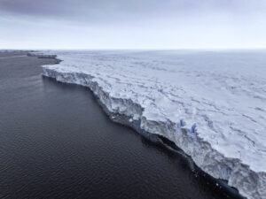
The Denman Marine Voyage is not only the first dedicated marine science voyage on our new home the RSV Nuyina, but we are also sailing to places where few ships have been in the past. Our main research area, the Denman Glacier, has been visited by German and Russian vessels in the past. However, the stunningly reduced sea-ice of this summer season has opened up areas which have not been ice-free in decades, like right in front of the Denman Glacier tongue. This is hopefully a once in a lifetime opportunity to explore this region.

Image: Delphine Lannuzel
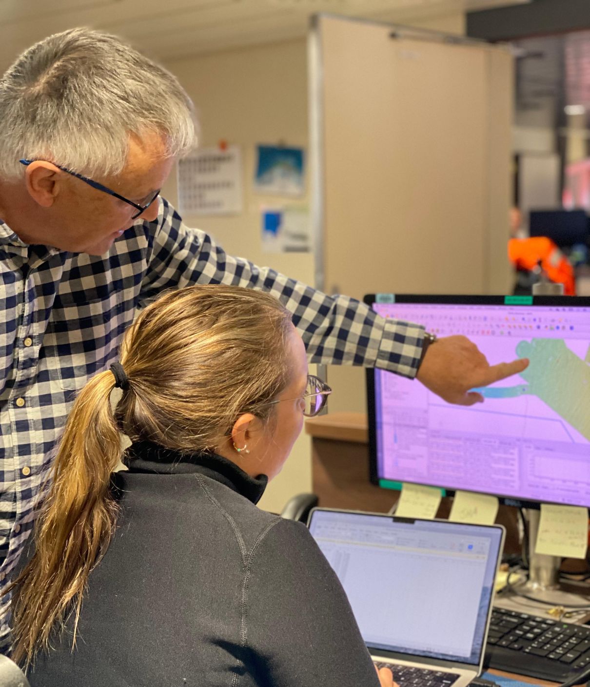
RSV Nuyina brings an entire suite of mapping tools to help us image the seafloor and the underlying sediment and water column. These instruments are able to map the seafloor at high-resolution, keeping us safe and helping us with targeted sampling for all our oceanographic, biological and geological questions. They also produce incredibly interesting datasets themselves.
In the hydroacoustics corner in the Science Operating room, we are currently marveling at iceberg scours and glacial lineation, which have never been seen before. The hinterland of the Denman glacier has been calculated to be almost three kilometres in depth – the deepest place on continental earth. One of the major objectives of our mission on the Denman Marine Voyage is to map the uncharted territory in front of the glacier, to understand if and how this deep canyon is connected to the ocean. Are we going to find the deepest spot on Antarctic continental shelves? We will keep mapping and see what we find throughout the next weeks.
—
*Dr Katharina Hochmuth (UTAS/IMAS) is a Senior Scientist and part of the rock dredging, sediment and bathymetry team for ACEAS on the Denman Marine Voyage.